

– N. Pezel

– N. Pezel

– T. Koleszar

– N. Pezel

– N. Pezel

– T. Koleszar

– T. Koleszar

– N. Pezel

– N. Pezel

– T. Koleszar

– T. Koleszar

– T. Koleszar

– T. Koleszar

– T. Koleszar

– N. Pezel

– N. Pezel

– T. Koleszar

– N. Pezel

– N. Pezel
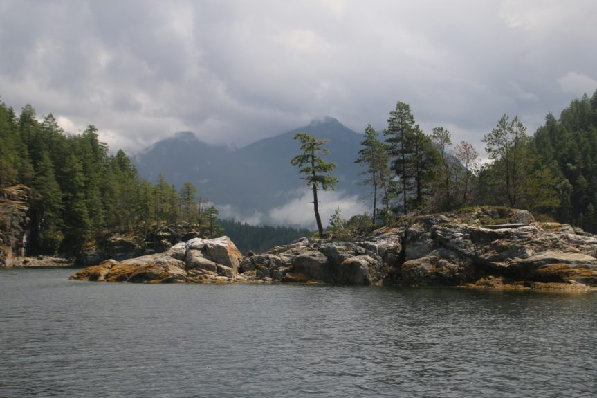
Desolation Sound
by Nancy Pezel 13 July 2019
As Nadia brought us up alongside the Misty Isles in the dingy, what a surprise to find Mike would be our captain for the day! With the aid of his charts, Mike explained about the currents, tides, deep waters, and warm fresh surface waters that make Desolation Sound such a popular spot for boaters.
As we headed up through Thulin Passage we stopped briefly at a pictograph; Mike explained that mineralization of the rock helps coat and preserve the “paint” that the local First Nations made from red oxide traded to them by interior First Nations. As we entered Desolation Sound, we learned how Captain Vancouver came to name it on a dreary day during his voyage in 1792. After squeezing by Otter Island, a headwind picked up and the clouds threatened rain, so we sought shelter and anchored at the south end of Melville Island. There we enjoyed a delicious lunch while two bald eagles watched us from their perches atop a Douglas-fir tree. Tom, Captain Mike and Sarah also enjoyed a brief swim in this sheltered spot.
With bad weather ahead of us in the distance, we headed into Prideaux Haven to have a quick look at how many boats were occupying “downtown” Desolation Sound (I counted 18), before we turned back and across Homfray Channel , to Refuge Cove on West Redonda Island. After a brief visit and chance to stretch our legs, we started back towards Lund, this time passing by the Powell Islets. There we saw some gulls with chicks, a few cormorants and some seals. And then, just as we were turning towards Lund we saw a small pod of Orcas!
Although the threat of rain surrounded us most of the day, somehow Captain Mike was able to keep the ominous dark clouds and rain at a distance the entire trip! It was a wonderful day enjoyed by all!